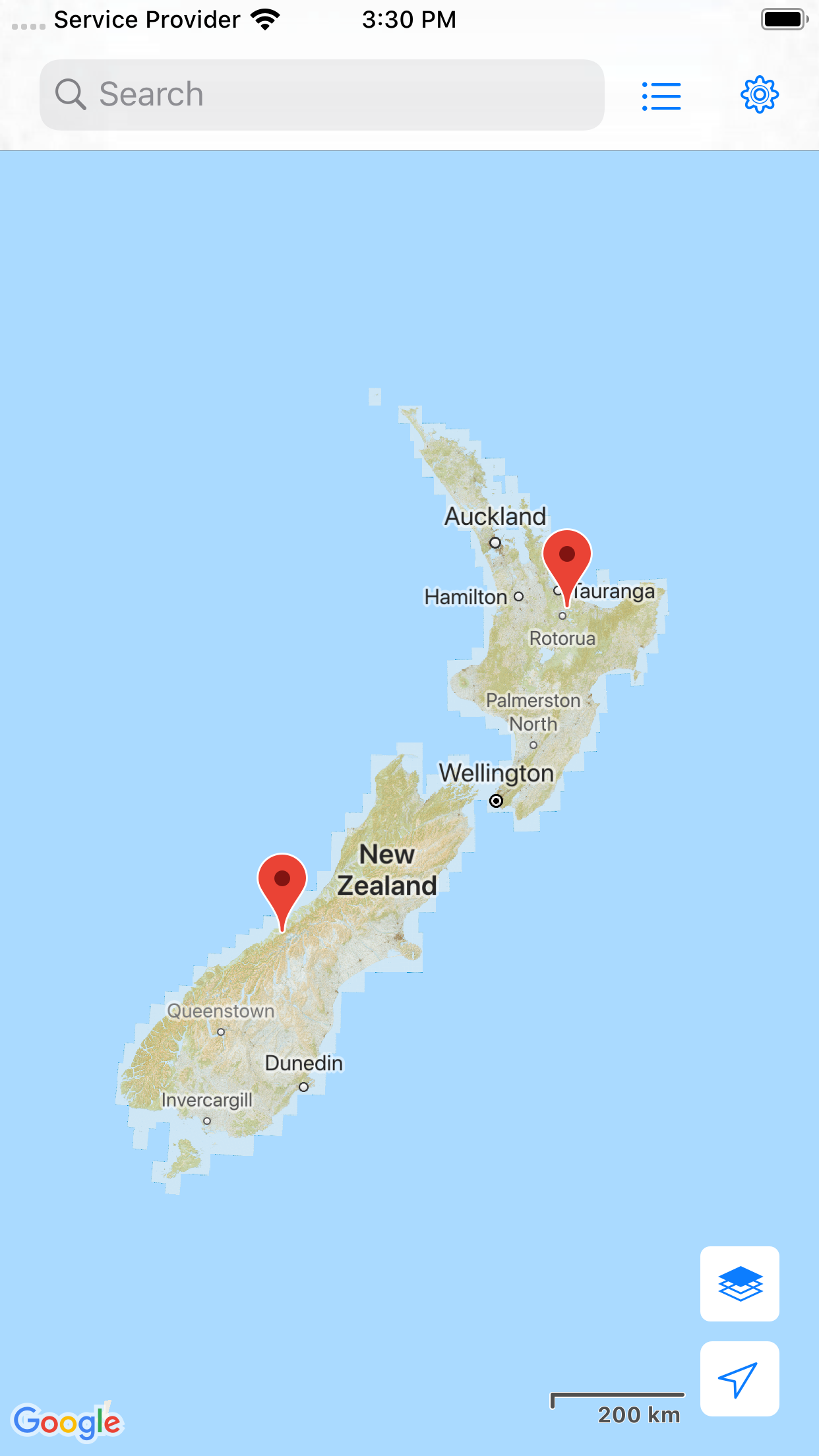
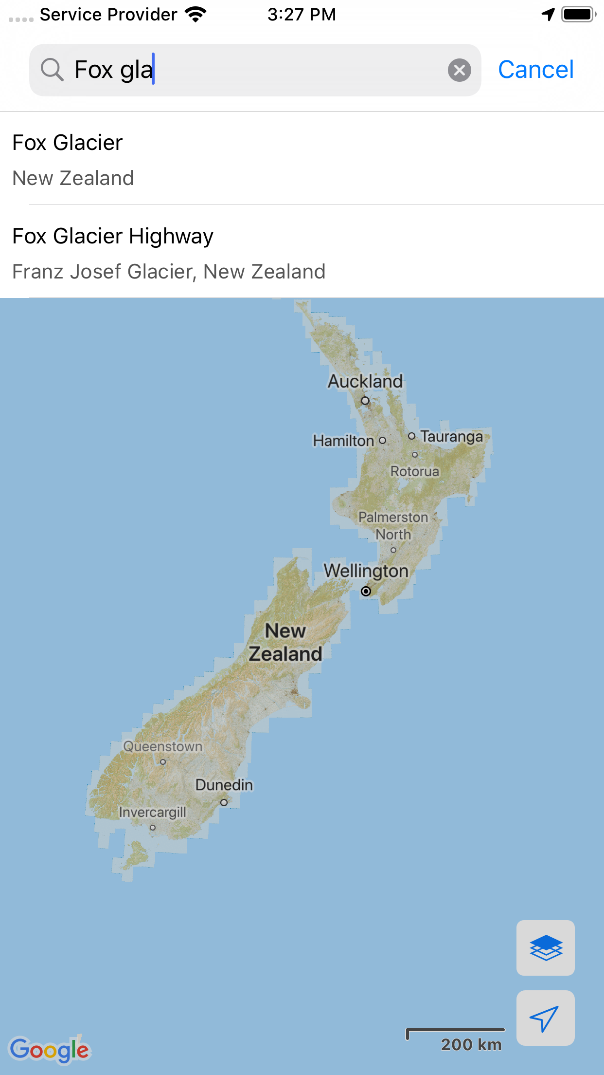
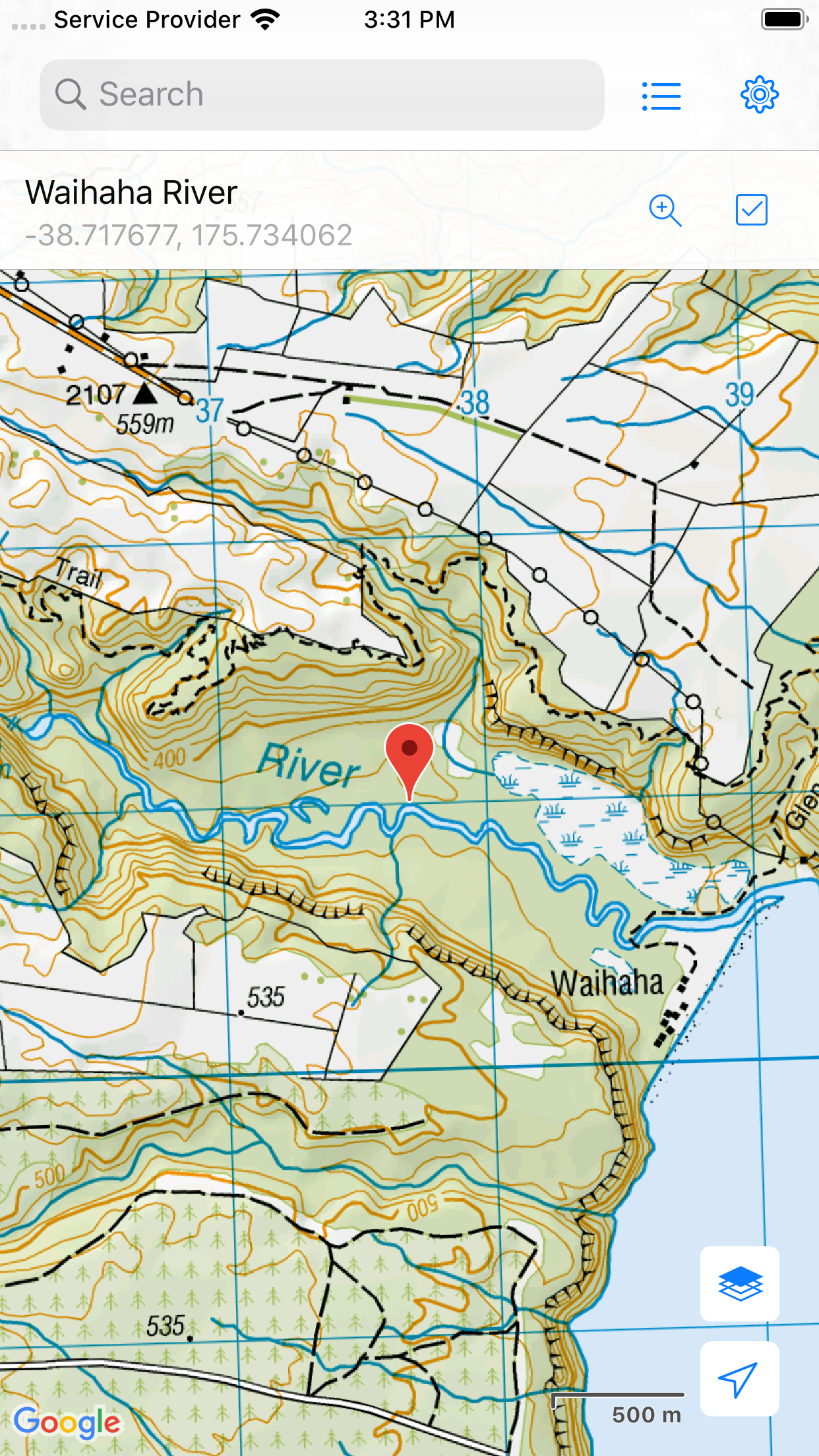
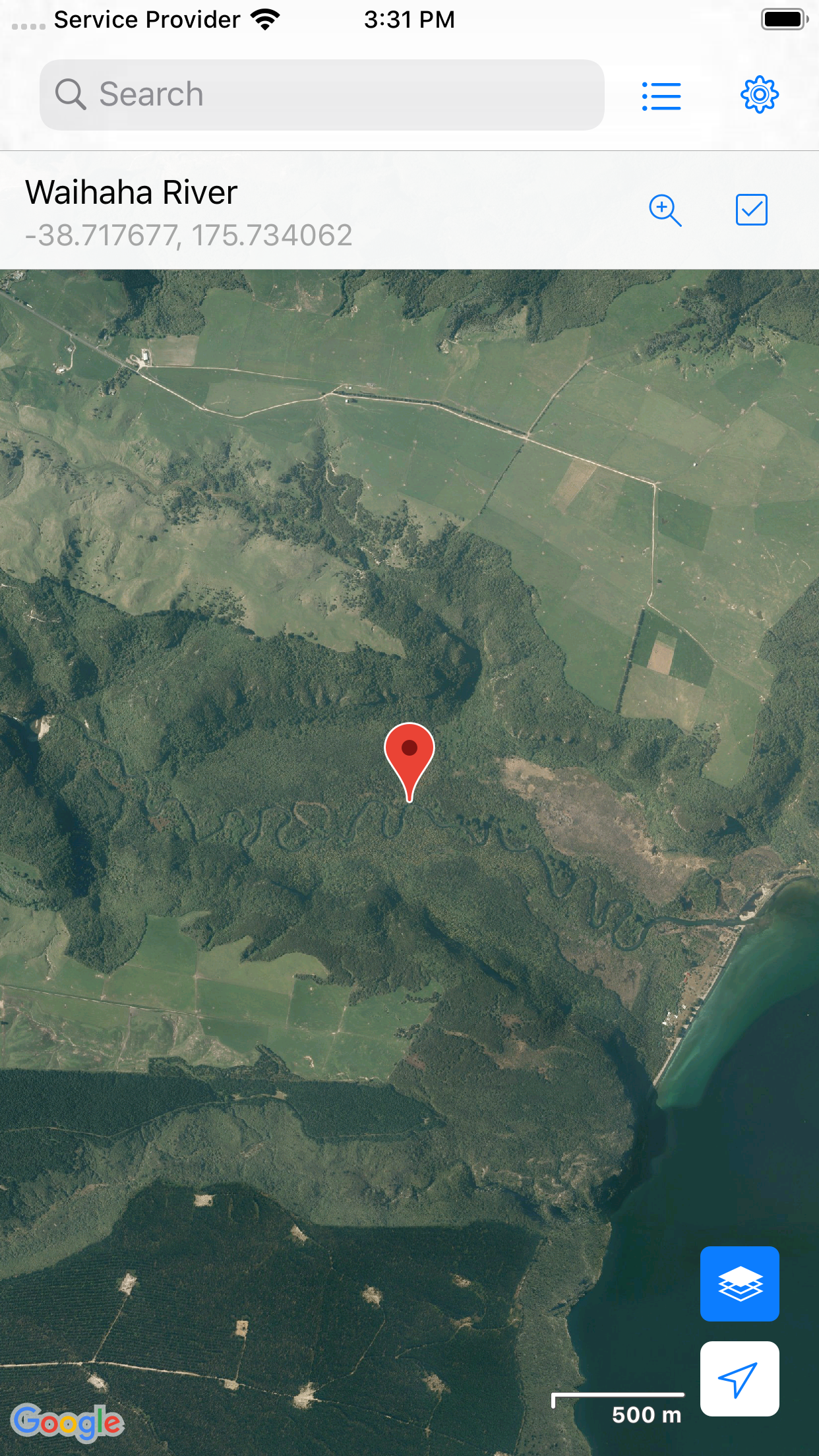
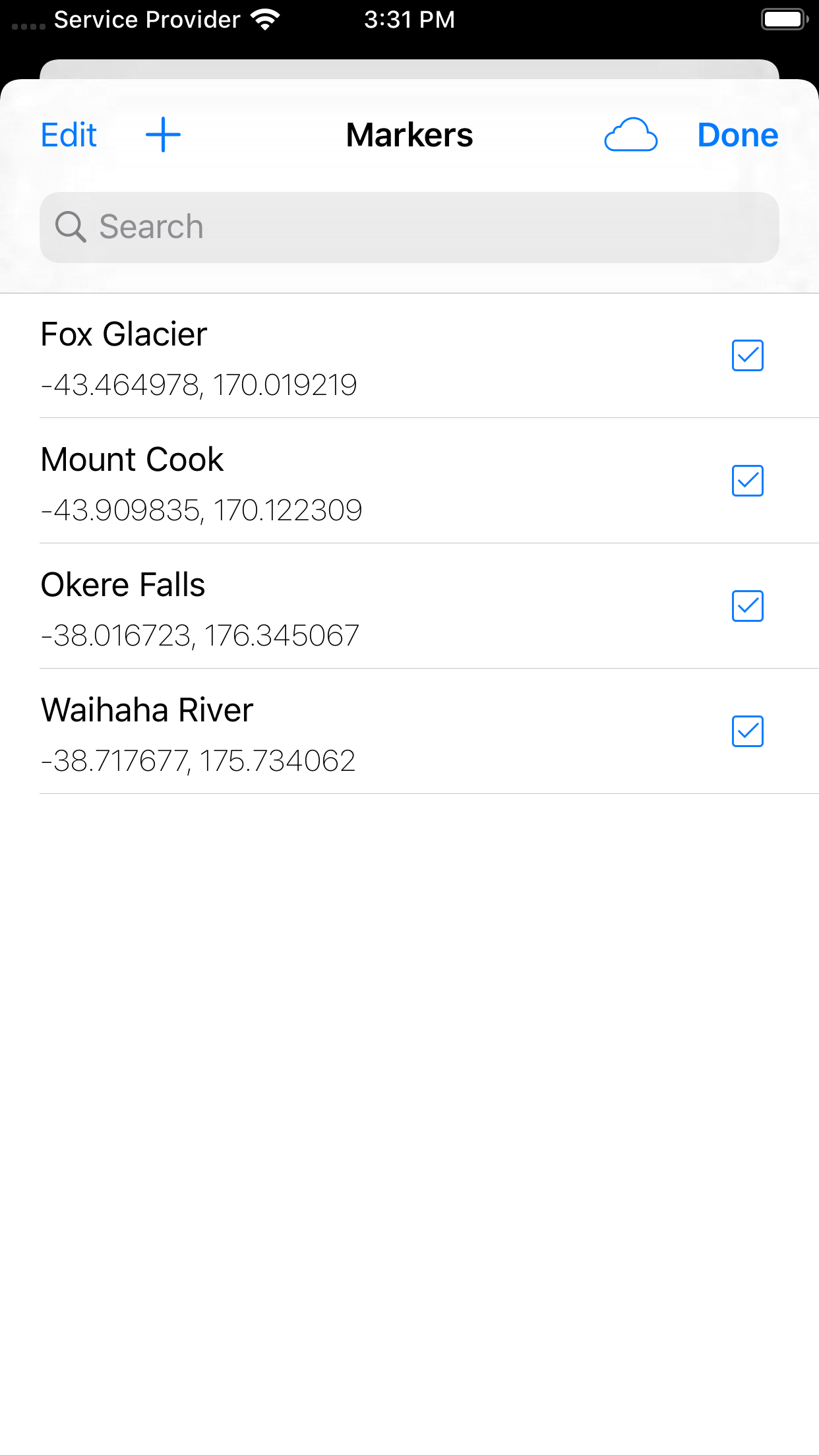
NZ Topo Maps
Topographic map of New Zealand with no limitations:
-
View topographic tiles and satellite imagery
-
Viewed tiles cached automatically (for offline availability)
-
Add unlimited map markers
-
Show your location and distance to markers
-
Import / export GPS Exchange Format (GPX) waypoints from iCloud Drive
-
Search for places of interest (supports decimal coordinates)
-
Common map interactions supported (pinch zoom, scroll, rotate, drop marker, drag marker etc)
-
Battery conscious (for those that can’t recharge every day)
New Zealand (NZ) Topo Map is intended for outdoor enthusiasts who want to mark locations visited or create markers to visit. It does not provide track information, show track routes, record while walking, show speed etc. It’s designed to be lightweight, intuitive, responsive, battery conscious and free. Perfect for casual day trips to serious bush excursions.
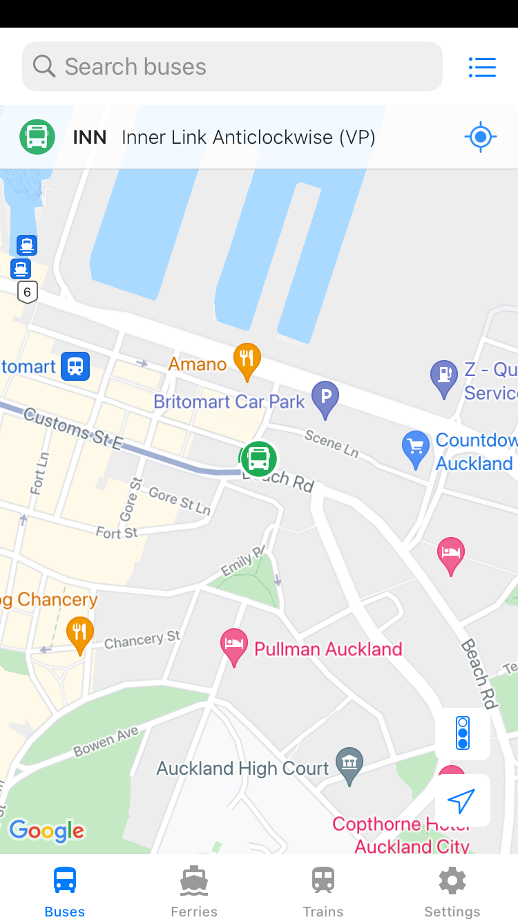
Auckland Bus Buddy
Real time bus tracking for Auckland buses.
View buses running on your selected routes
and track your bus through its journey.
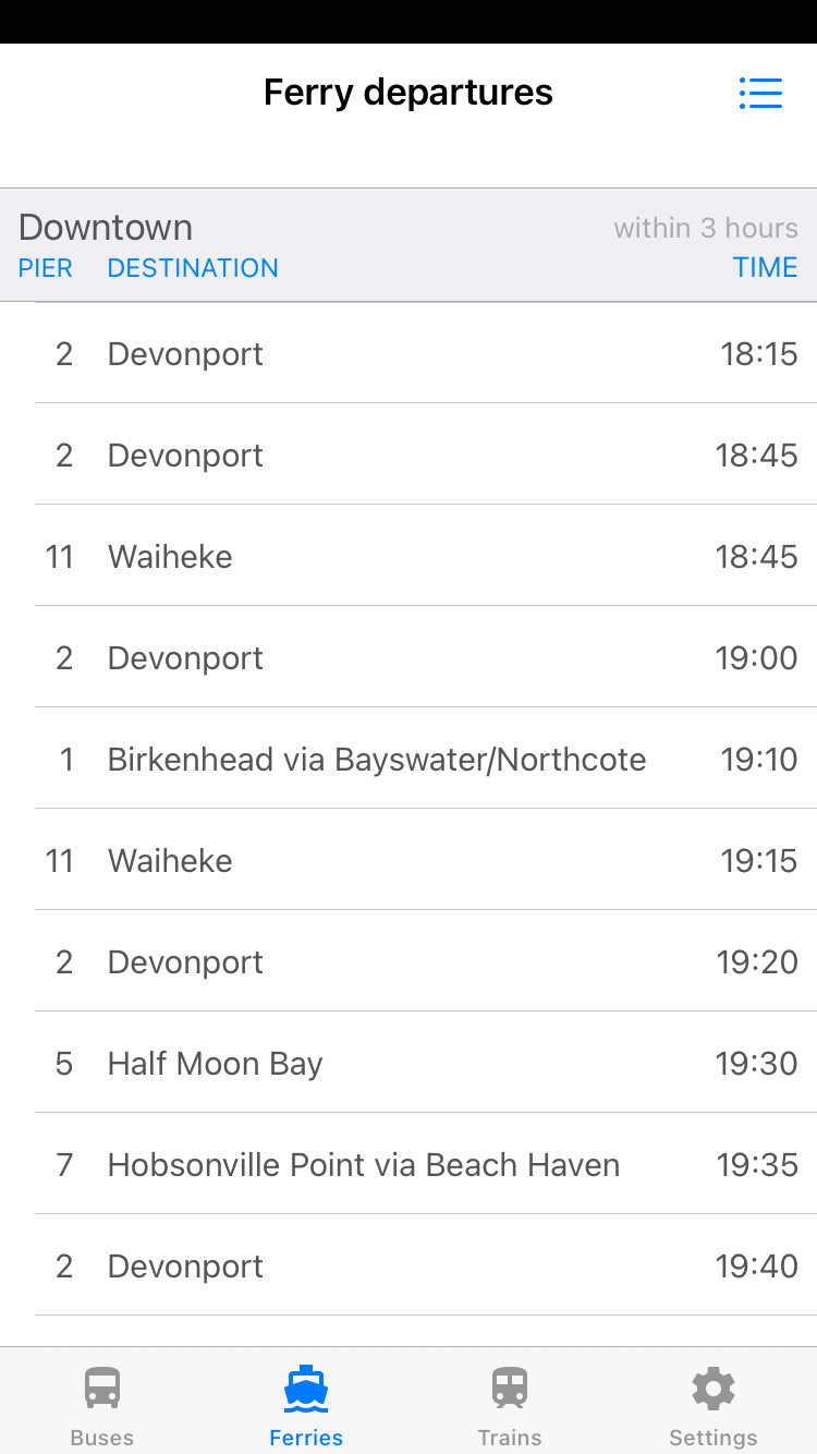
View real time train and ferry timetables
as well!
Features include:
-
Track multiple buses at the same time
-
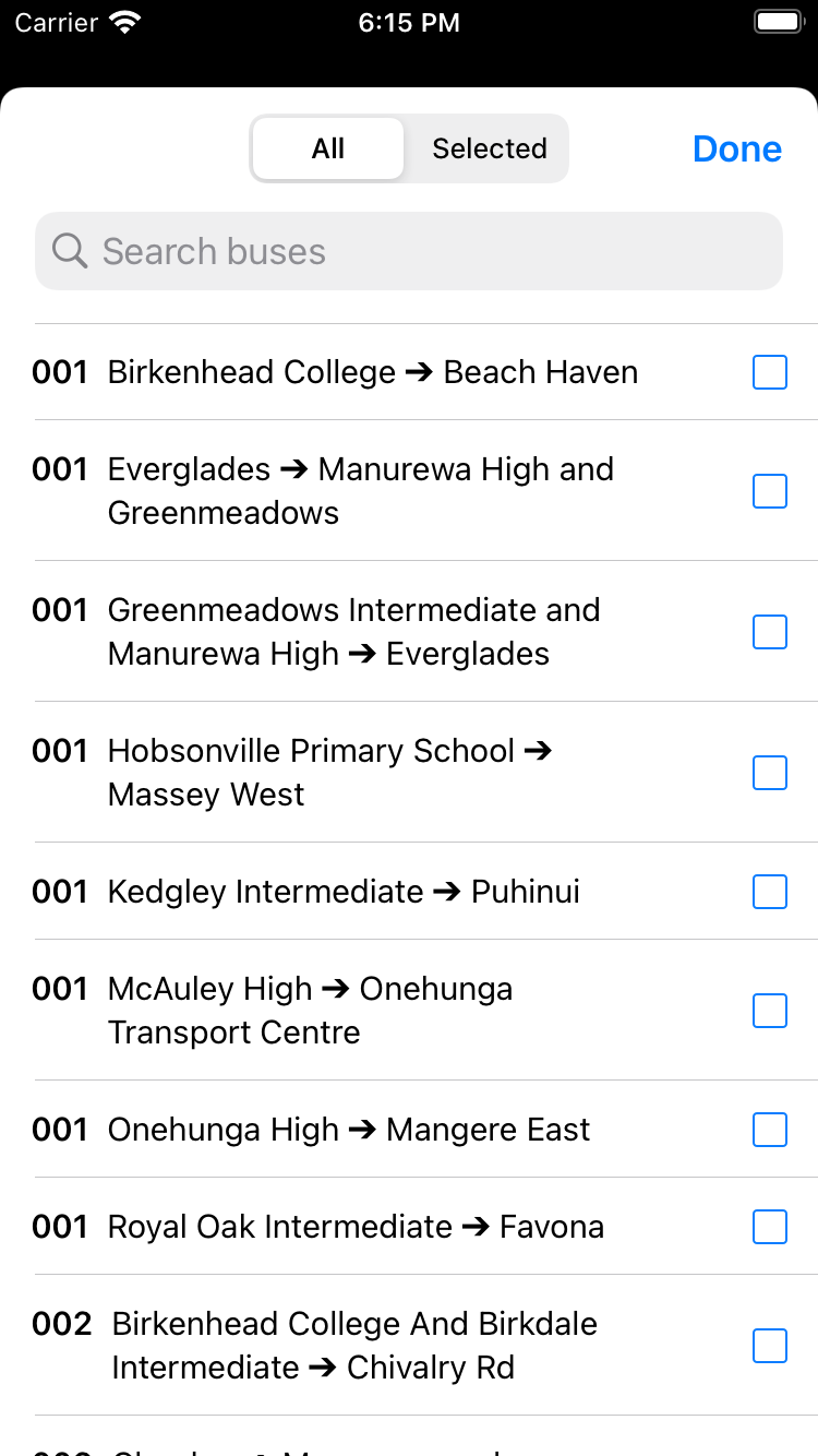
Search by bus number and / or route
-
Automatically follow a selected bus
-
Selected bus path shown
-
Current bus bearing indicator
-
Toggle on/off traffic hot-spots
-
View upcoming train departures (and delays)
-
View upcoming ferry departures
Disclaimer:
Auckland Transport does not provide locations for every bus, there
may be other buses not listed or shown on the map.
Bus locations provided by
Auckland Transport are updated within a maximum of 30 seconds.
Bus Buddy is not
affiliated with Auckland Transport.